Catalog Archive
Auction 117, Lot 147

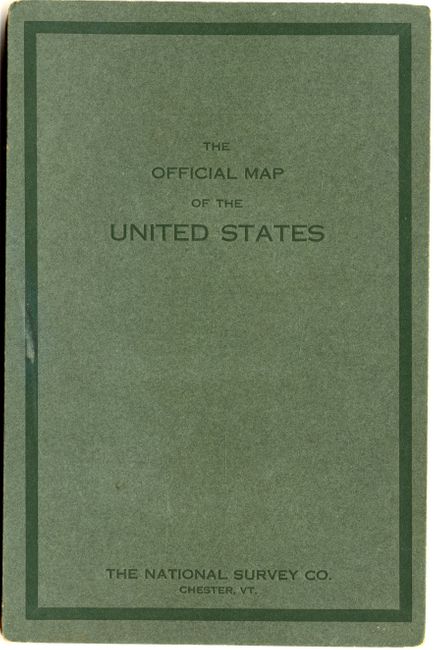
"The Official Map of the United States", National Survey Co.

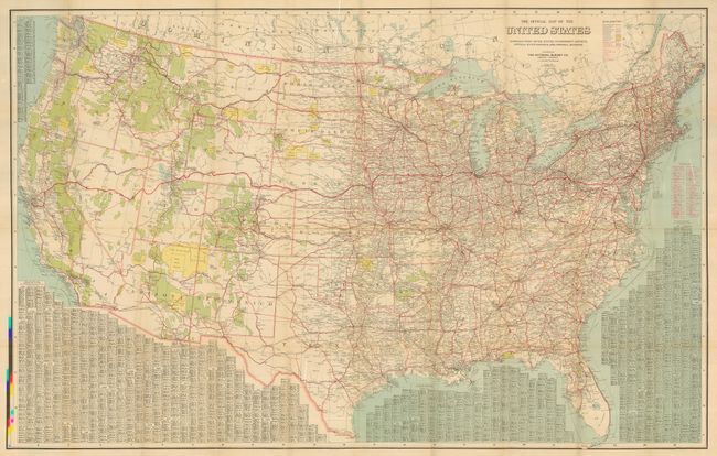
Subject: United States

Period: 1916 (dated)

Publication:

Color: Printed Color

Size:
49 x 31.5 inches
124.5 x 80 cm
Download High Resolution Image
(or just click on image to launch the Zoom viewer)

The main focus of this large and extremely detailed map is the fledgling highway system. It is also filled with information on towns and cities, scores of railroads, Indian Reservations, National Parks, National Reserves, forts, naval bases, and Bird Reserves. But the star of this production are the auto highways. Details the Lincoln Highway, the first transcontinental highway, running from San Francisco to New York City plus many, many more, all shown in red overprinting. Surrounding tables give the population and map coordinates for thousands of cities listed by state. Blank verso. The maps folds into 8vo printed boards. Drawn by L.V. Crocker and published in Chester, Vermont. A really fine example of this seldom seen map.

References: Rumsey #4299.

Condition: A+

Map has the slightest hint of toning at a fold or two, still fine. Cover is near fine as well.

Estimate: $150 - $200

Sold for: $85

Closed on 12/6/2006

Archived