Catalog Archive
Auction 117, Lot 146

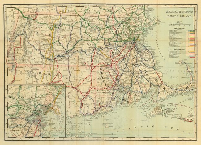
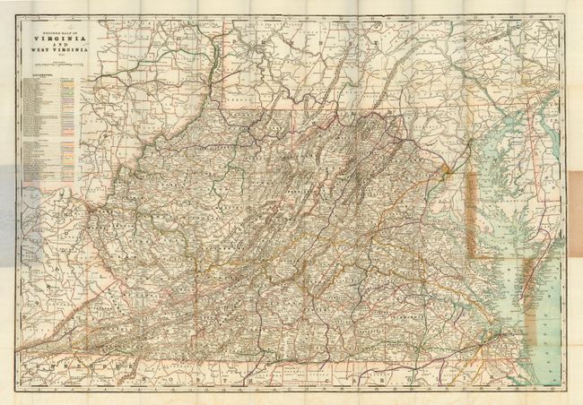
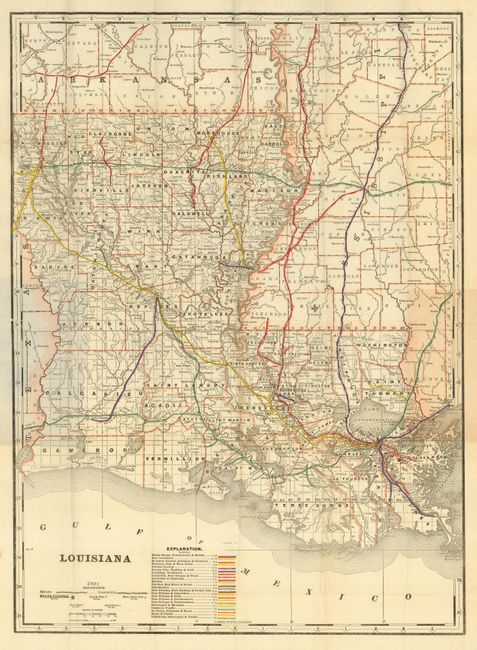
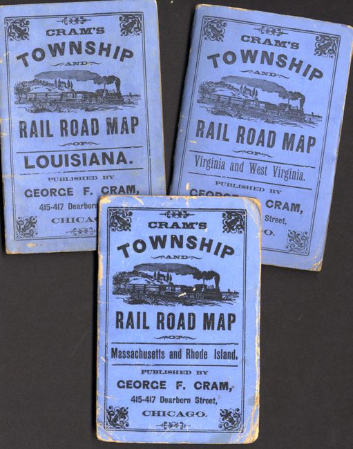
"[Lot of 3 Township and Rail Road Maps] Massachusetts and Rhode Island [with] Virginia and West Virginia [and] Louisiana", Cram, George F. & Company

Subject: United States

Period: 1891-1897 (dated)

Publication:

Color: Printed Color

Size:
See Description
Download High Resolution Image
(or just click on image to launch the Zoom viewer)

Great lot of three wax engraved 19th century township and railroad folding pocket maps in blue paper covers, which are 4 x 6".

1) Massachusetts and Rhode Island has wonderful information on the railroads converging on Boston and Providence with great details of the towns, particularly Boston, which is also shown in an inset map. The booklet has a 31 pp. index and is dated 1897. Map measures 22.5 x 16".
2) Virginia and West Virginia, with a multitude of railroad lines and other details of the cities and towns. The map folds in with a 76 pp. index and is dated 1892. Map measures 31.7 x 21.8".
3) Louisiana with good detail of the state and railroad lines, primarily all heading to New Orleans. The map accompanies a 19 pp. index. The map is dated 1891 and measures 16 x 22".

References:

Condition: B

All maps are generally good with some of the expected fold separations and toning which occur in these types of folding maps. Map 1 detached from booklet.

Estimate: $120 - $150

Sold for: $90

Closed on 12/6/2006

Archived