Catalog Archive
Auction 116, Lot 610

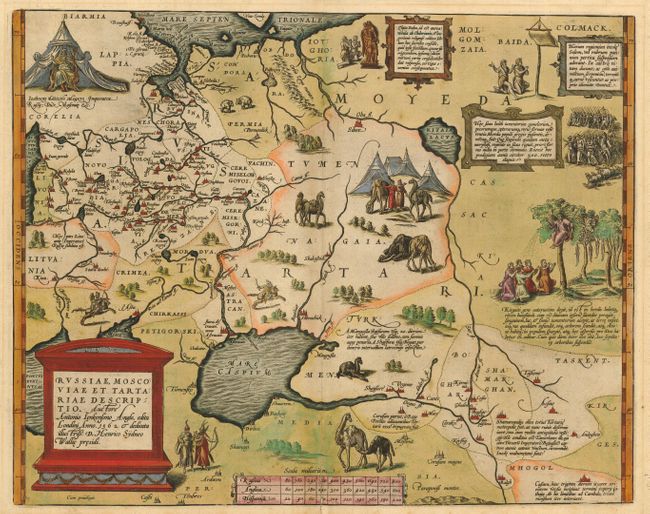
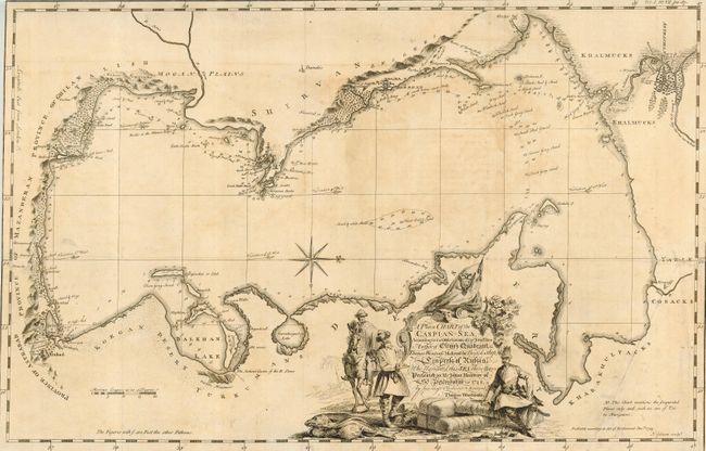
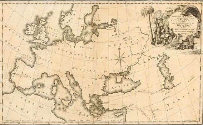
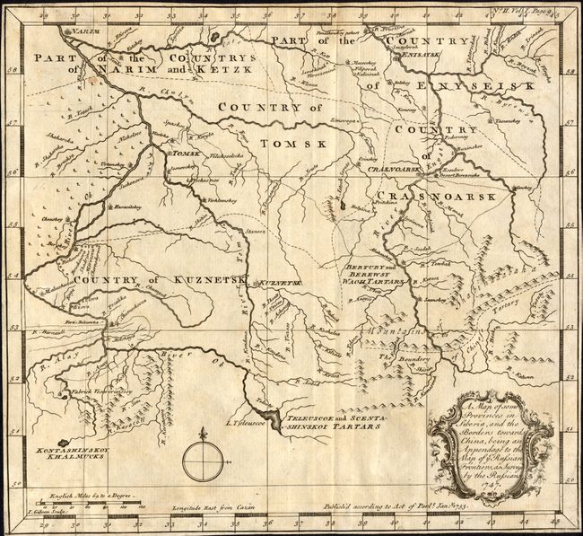
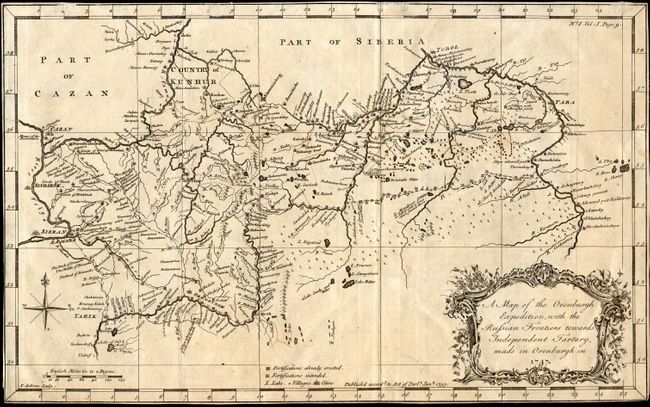
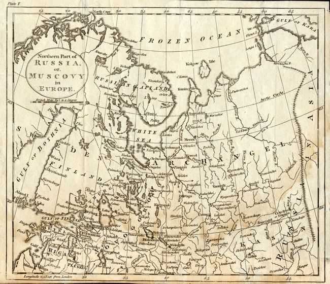
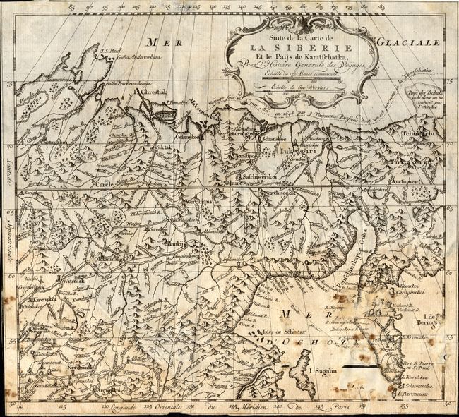
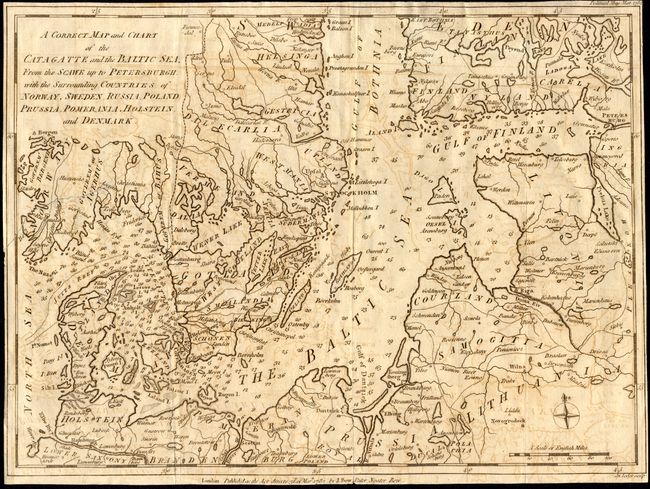
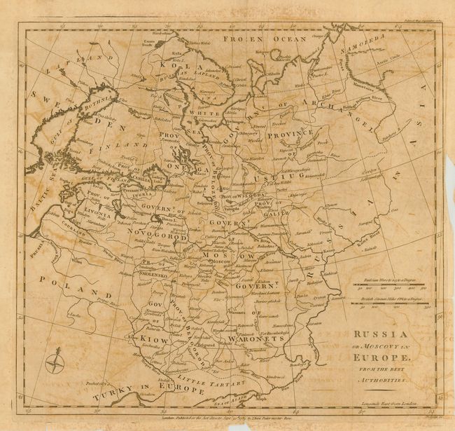
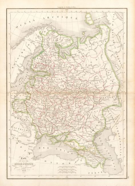
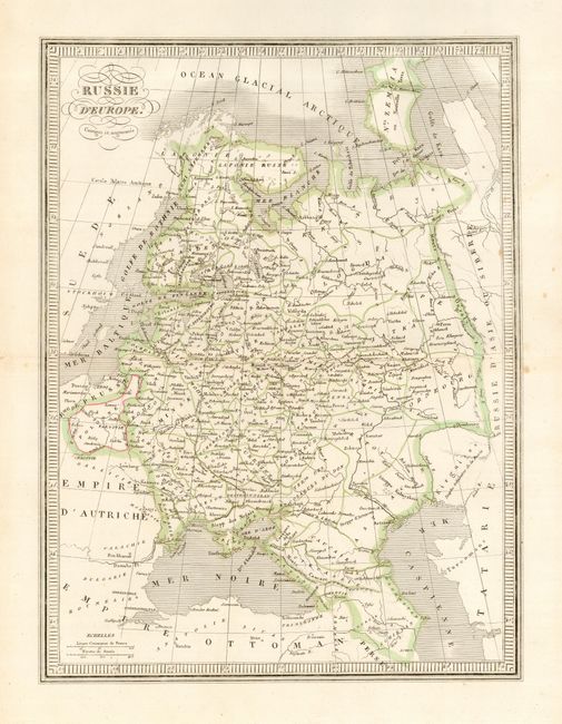
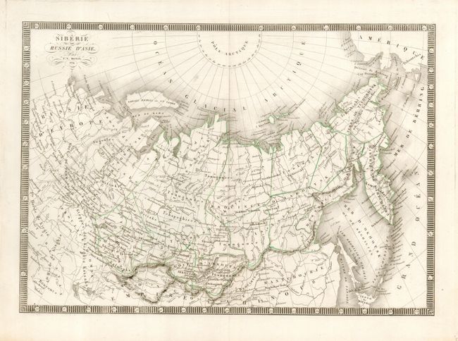
"[Lot of 13 - Russia]",

Subject: Russia

Period: 1587-1854

Publication:

Color:

Size:
See Description
Download High Resolution Image
(or just click on image to launch the Zoom viewer)

This is a diverse group of maps covering the Russian Empire from the latter part of the sixteenth century to the middle of the nineteenth century.

1) Russiae, Moscoviae et Tartariae Descriptio, Abraham Ortelius, [1587] is the most important map in the lot. It is a fascinating map from the surveys of the English merchant and adventurer, Anthony Jenkinson, in 1562. Jenkinson was leader of the Muscovy Company's first expedition to Russia and the first European to travel widely throughout the region. Ortelius' map replicates much of the detail and decoration found on the original Jenkinson map complete with extensive notations, illustrations of Cossacks, camels, encampments, armies, and a curious burial scene where the dead are hung from trees. A vignette of Ivan the Terrible appears top left. French text and page number 91 on verso. Original full color (17.3 x 13.7") Ref: v.d. Broecke #162. Margins slightly trimmed, but still ample with minor mat burn in blank margin. Old repair on bottom fold affecting about 2" on map.

Items 2 - 5 are from Jonas Hanway's An historical account of the British trade over the Caspian Sea, maps engraved by John Gibson, published in London 1753.
2) A Plain Chart of the Caspian Sea, According to the Observations of Capt. John Elton..., Thomas Woodroofe, B/W (20.7 x 13") Trimmed to neatlines with a 2" tear/fold separation at right side.
3) The Several Routs to and from Persia taken from the Map, Presented to the Route of the Lords by the Russia Company in 1740, B/W (21 x 13") Trimmed to neatlines with a 2" tear at right side.
4) A Map of some Provinces in Siberia, and the Borders towards China, being an Appendage to the Map of ye Russian Frontiers as Surveyd by the Russians 1747, B/W (10.2 x 9.3") Trimmed to neatlines.
5) A Map of the Orenburgh Expedition, with the Russian Frontiers towards Independent Tartary, made in Orenburgh in 1747, B/W (15 x 9.3") Trimmed to neatline with abrasions in top border
6) Northern Part of Russia, or Muscovy in Europe, anon., c. 1750, B/W (8.5 x 7.5") Margins trimmed but still adequate, with light damp stain.
7) Suite de la Carte La Siberie Et le Paijs de Kamchatka, Pour l' Histoire Generale des Voyages, Bellin, c. 1760, B/W (10 x 9.3") Trimmed to neatlines, foxing and large loss in lower part of map with paper backing.
8) A Correct Map and Chart of the Catagatte and the Baltic Sea, From the Scawe up to Petersburgh, with the Surrounding Countries of Norway, Sweden, Russia, Poland, Prussia, Pomerania, Holstein, and Denmark, John Lodge, 1782, B/W (14.5 x 10.8") Light offsetting. Trimmed to neatline with 2" tear/fold separation at bottom and 3" tear into side.
9) Russian or Muscovy in Europe, From the Best Authorities, John Lodge, 1783, B/W (14.2 x 13.2") Toned with offsetting, issued folding, some fold separations and a binding tear entering border at right.
10) Carte de la Russie d'Europe, Delamarche, 1838, outline color (11.5 x 16.3") very good.
11) Russie d'Europe. Corrigee et Augmentee, anon., c. 1840, outline color (10.3 x 13.7") very good. 12) Siberie on Russie d'Asie, C.V. Monin, 1854, outline color (15.4 x 11") very good.
13) Carte du Kamtchatka, J. Laurent, c. 1780, from Abrege de l'Histoire Generale des Voyages, B/W (11.6 x 20.3") Binding trim to neatline at right with a 1.5" binding tear. Some soil and a minor fold intersection separation.

References:

Condition:

Condition varies, see item description.

Estimate: $1,500 - $2,000

Sold for: $2,100

Closed on 9/20/2006

Archived