Catalog Archive
Auction 116, Lot 313

"Rhode Island", Carey, Mathew

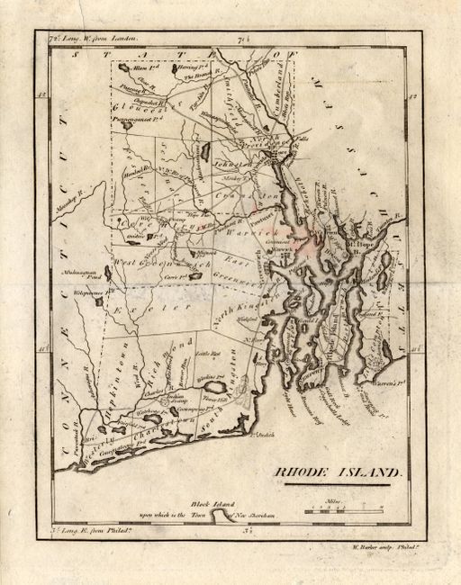
Subject: Rhode Island

Period: 1801 (published)

Publication: Carey's American Pocket Atlas

Color: Black & White

Size:
6 x 7.6 inches
15.2 x 19.3 cm
Download High Resolution Image
(or just click on image to launch the Zoom viewer)

This fascinating and early look at the state details roads, bridges, ferries, villages and cities. Providence is shown in a block plan. This is the second edition that includes numerous double lines indicating wagon roads. A portion of Block Island is shown at bottom. Longitude is given from London and Philadelphia. Printed by H. Sweitzer and engraved by W. Barker. From the scarce American Pocket Atlas with a facsimile of the title page.

References: Wheat & Brun 623.

Condition: B

Trace of surface soil, small area of pink stain, short marginal tear at top, closed on verso. Mounted in archival mat board and correctly hinged. Tastefully double matted in cream with a forest green undermat - ready for framing.

Estimate: $200 - $300

Unsold

Closed on 9/20/2006

Archived