Catalog Archive
Auction 116, Lot 269
"Massachusetts", Dorr, Howland & Co
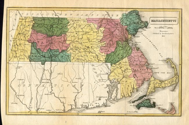
Subject: Massachusetts
Period: 1839 (dated)
Publication: Statistical Tables Relating to Massachusetts…
Color: Hand Color
Size:
11.8 x 7.1 inches
30 x 18 cm
Download High Resolution Image
(or just click on image to launch the Zoom viewer)
(or just click on image to launch the Zoom viewer)