Catalog Archive
Auction 116, Lot 179

"Iowa and Wisconsin Chiefly from the Map of J.N. Nicollet", Morse, Sidney Edwards

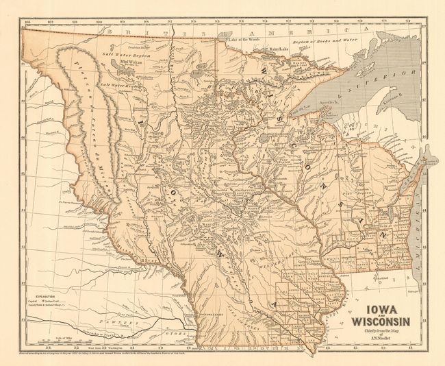
Subject: Midwestern United States, Iowa, Wisconsin

Period: 1844 (dated)

Publication: Morse's North American Atlas

Color: Printed Color

Size:
15 x 12 inches
38.1 x 30.5 cm
Download High Resolution Image
(or just click on image to launch the Zoom viewer)

This map was printed using the revolutionary cerographic process, a milestone in cartographic printing techniques. This early printed color technique was an important change in the way maps were produced and the only truly American cartographic publishing innovation.

This is one of the earliest obtainable maps for both Wisconsin and Iowa and the only commercially issued example of Nicollet's important map of the region. The map details Wisconsin and the Upper Plains to the Missouri and Little Missouri Rivers beyond Ft. Mandan to the White Earth River. Iowa fills the area between the Mississippi and Missouri Rivers all the way to the Canadian border. Filled with remarkable detail for the period of the numerous lakes and rivers, particularly between the Mississippi and the Missouri Rivers. Numerous Indian trails and villages and early forts are located. Good detail of the explorations in the region. A particularly clean and bright example of this desirable and early printed color map.

References: Rumsey #5538.

Condition: A+

Very fine example with good margins, fine color and no flaws.

Estimate: $300 - $350

Sold for: $220

Closed on 9/20/2006

Archived