Catalog Archive
Auction 115, Lot 65

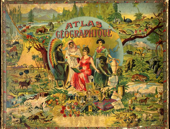
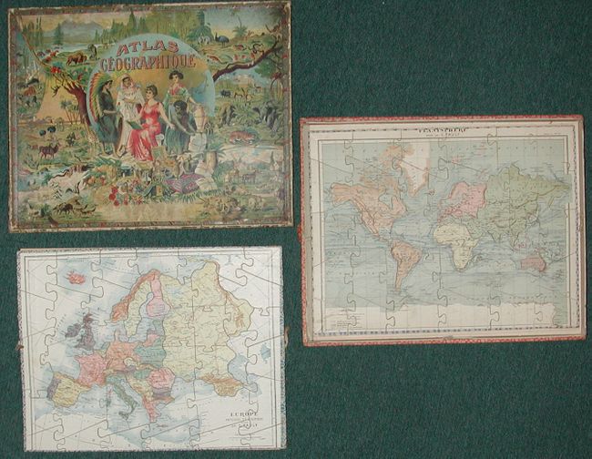
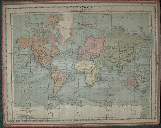
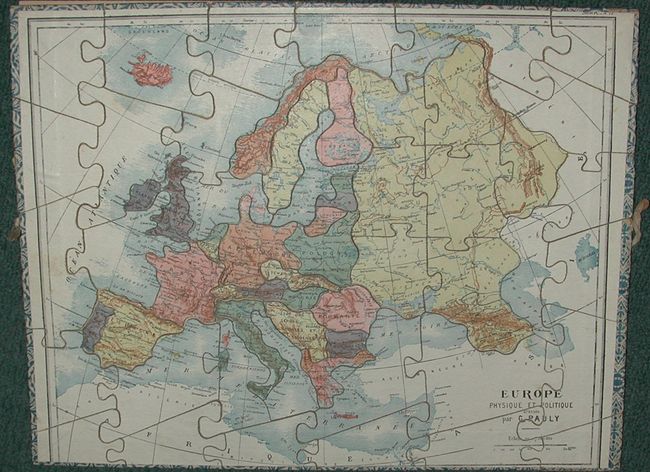
"[Puzzles] Atlas Geographique", Pauly, G.

Subject: Cartographic Miscellany - Puzzle

Period: 1920 (circa)

Publication:

Color: Printed Color

Size:
15 x 11.5 inches
38.1 x 29.2 cm
Download High Resolution Image
(or just click on image to launch the Zoom viewer)

Two color lithographed puzzles mounted on balsa wood, each complete and in the original box. The box is decorated with a fabulous chromolithograph featuring the world's flora and fauna, examples of arts, science and manufacturing, all surrounding the central vignette of the continents personified by pretty ladies. The world map (Planisphere) shows topographical information such as frigid areas and ocean currents. Also shows the major railways and sea routes. The map of Europe (Europe Physique et Politique) shows the post World War I creations such as Tcheco-Slovaquie (Czechoslovakia), and Etat des Serbes, Croates, Slovenes (Yugoslavia).

References:

Condition: A

Maps and box are in remarkable condition with only some minor bumps and abrasions.

Estimate: $500 - $600

Sold for: $425

Closed on 6/21/2006

Archived