Catalog Archive
Auction 115, Lot 616
"[Lot of 2] De Maiorica Insula [and] De Minorica Insula", Camocio, Giovanni Francesco
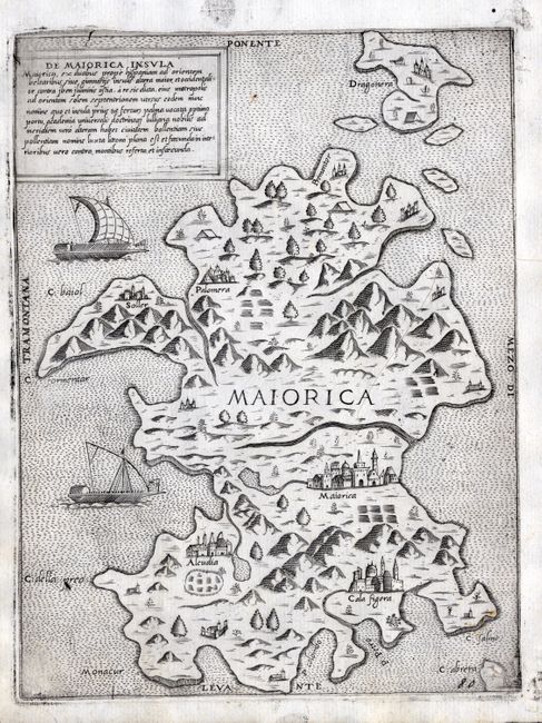
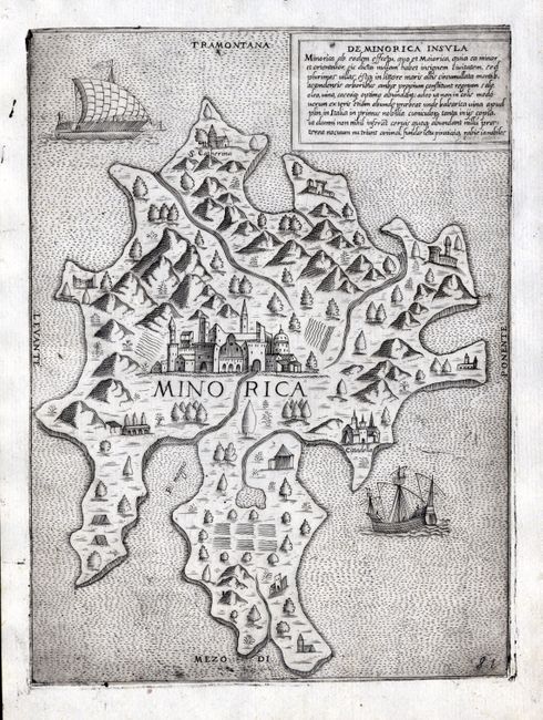
Subject: Mediterranean, Balearic Islands
Period: 1574 (circa)
Publication: Isole Famose, Porti, Fortezze, e Terre Maritime.
Color: Black & White
Size:
7 x 9.3 inches
17.8 x 23.6 cm
Download High Resolution Image
(or just click on image to launch the Zoom viewer)
(or just click on image to launch the Zoom viewer)