Catalog Archive
Auction 115, Lot 569

"Crimeae seu Chersonesus Tauricae item Tartariae Nogayae Europae ae Tabula Geographica…", Schmidt, Jacob F.
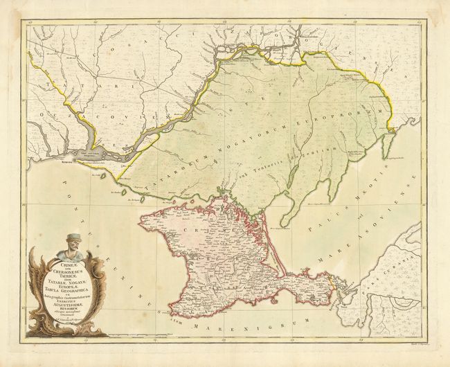
Subject: Ukraine

Period: 1774 (dated)

Publication:

Color: Hand Color

Size:
23 x 18 inches
58.4 x 45.7 cm
Download High Resolution Image
(or just click on image to launch the Zoom viewer)

This is a very scarce regional map prepared for Peter the Great's survey and published by the Geographic Department of the Imperial Academy of Science. The map covers the region north of the Black Sea including the Crimea and the estuary of the Dneiper River. Sheet is embellished with a large title cartouche.

References:

Condition: B

Light scattered foxing in map with some damp stains in margins. Remnants of framing hinges on verso.

Estimate: $275 - $350

Sold for: $550

Closed on 6/21/2006

Archived