Catalog Archive
Auction 115, Lot 401

"Carte de la Manche faite par ordre du Roy pour le Service de Les Armees de Mer Reveue et Corrigee Par le Sr. Sanson", Sanson/Jaillot

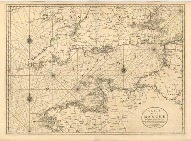
Subject: English Channel

Period: 1705 (circa)

Publication: Atlas Nouveau

Color: Black & White

Size:
31.3 x 23 inches
79.5 x 58.4 cm
Download High Resolution Image
(or just click on image to launch the Zoom viewer)

This boldly engraved double-page chart centers on the English Channel and details southern Britain and northern France. From the north, the map extends from Bedford south to Brittany, and inland to Paris on the Seine and London on the Thames. Just the southern tip of Ireland is included. It includes a compass rose, rhumb lines and other features more typical of a sea chart. A rarely seen map that has been professionally encapsulated in archival Mylar.

References:

Condition: A

Very early, dark impression with layout lines visible in some text. Full original margins. Hint of offsetting, still very good to fine.

Estimate: $700 - $900

Sold for: $350

Closed on 6/21/2006

Archived