Catalog Archive
Auction 115, Lot 365

"Islanda [Irlanda on verso]", Bordone, Benedetto

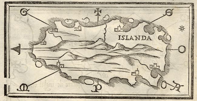
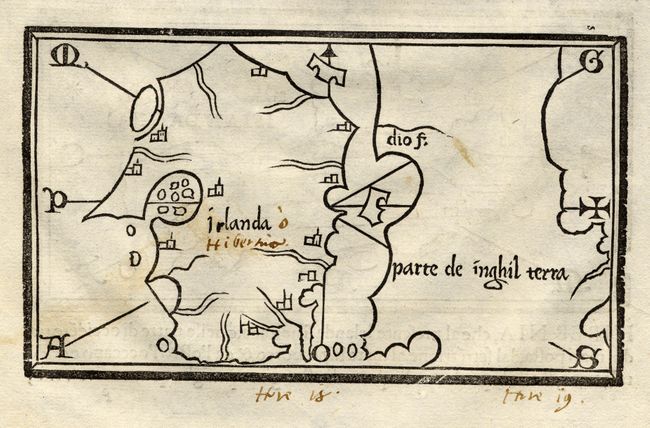
Subject: Iceland and Ireland

Period: 1528-65 (published)

Publication: Isolario

Color: Black & White

Size:
5.8 x 3.2 inches
14.7 x 8.1 cm
Download High Resolution Image
(or just click on image to launch the Zoom viewer)

Extremely early and scarce woodblock map focuses on Iceland with east oriented at top, a mountainous interior and a few unnamed cities along the coastline. It is the first separately printed map to center on Iceland. An equally fascinating map of Ireland and part of the coast of England and Wales is on the verso. Bordone's Isolario was one of the earliest and most important works of its time. It is remarkable for being the first atlas covering the entire world not based on classical geography, but rather on contemporary information. Bordone was an illuminator and wood-engraver, working in Venice, when he was given permission by the Senate to print maps of Italy and the world. None of those maps have survived and his only remaining works are the maps from the Isolario (Island Book). On a full sheet of Italian text.

References:

Condition: B

Manuscript brown ink notation in the margin of the Islanda map. Manuscript notation "Hibernia" inside the Irlanda map along with some marginal notations below the map.

Estimate: $650 - $750

Sold for: $1,600

Closed on 6/21/2006

Archived