Catalog Archive
Auction 115, Lot 357

"Peru, Chili and La Plata", Thomson, John

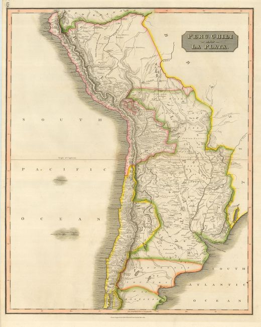
Subject: South America - Southern

Period: 1816 (dated)

Publication: New General Atlas

Color: Hand Color

Size:
19.5 x 24 inches
49.5 x 61 cm
Download High Resolution Image
(or just click on image to launch the Zoom viewer)

A beautiful example of Thomson's map-making that covers all or most of today's Peru, Bolivia, Chile and Argentina. This copper engraved map extends south to include part of Patagonia or Country of Magellan, and north to the border with New Grenada along the Amazon River. Filled with place names and much information on watershed and mountains. Interesting regional notations include Country of Tuyu, Indian Nations, Cannibal Indians, Montana Real, plus some areas marked as Unknown.

References:

Condition: A

Great original color and crisp, dark impression. A near fine example less two matching and small areas of physical damage to the paper in the blank Pacific, resulting in a small paper crack that is closed on verso.

Estimate: $120 - $140

Sold for: $75

Closed on 6/21/2006

Archived