Catalog Archive
Auction 115, Lot 339

"Grenada Divided into Its Parishes, Surveyed By Order of His Excellency Governor Scott", Jefferys, Thomas
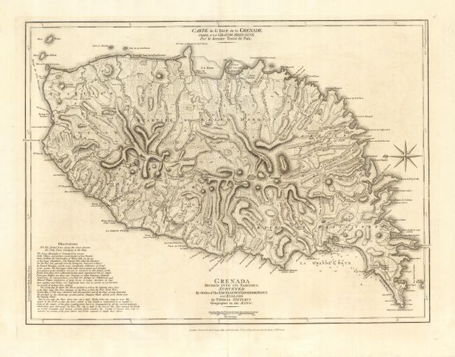
Subject: Grenada

Period: 1775 (dated)

Publication:

Color: Black & White

Size:
24.5 x 19 inches
62.2 x 48.3 cm
Download High Resolution Image
(or just click on image to launch the Zoom viewer)

Handsome map of the island showing the topography by use of hachure, along with roads, towns, hospitals, and sugar plantations. The coastlines are well delineated and include the locations of safe harbor and soundings in the bays. Very specific sailing directions are given for entering Great Bay, and there is also a historical and geographical description of the island. A note also states that the King owns fifty paces inland from the shoreline. Includes a nice compass rose orienting the chart with north at left. Published by Robert Sayer with his imprint at bottom. English title is at bottom, with French title at top - Carte de l'Isle de la Grenadeā€¦

References:

Condition: A

Clean, crisp impression with some repaired tears in margins and some extraneous creasing.

Estimate: $550 - $650

Unsold

Closed on 6/21/2006

Archived