Catalog Archive
Auction 115, Lot 296

"A Correct Map of Virginia", Carey, Mathew
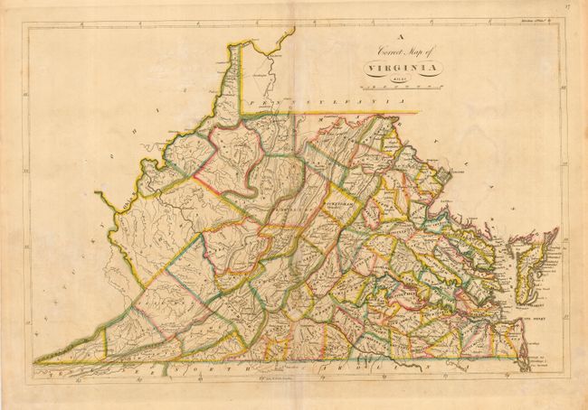
Subject: Virginia

Period: 1814 (published)

Publication: General Atlas

Color: Hand Color

Size:
19.3 x 13 inches
49 x 33 cm
Download High Resolution Image
(or just click on image to launch the Zoom viewer)

Early nineteenth century map of the state of Virginia colorfully delineated into counties. There is good detail of topography, settlements and roads. The western part of the state is still relatively unsettled. Carey's General Atlas of 1814 was the first atlas made in the United States to employ hand coloring as a standard on the maps.

References:

Condition: B

Lightly toned, darker on centerfold with a bit of faint offsetting. Tissue repair on centerfold.

Estimate: $500 - $600

Sold for: $500

Closed on 6/21/2006

Archived