Catalog Archive
Auction 115, Lot 255

"Colton's Minnesota", Colton, G.W. & C.B.
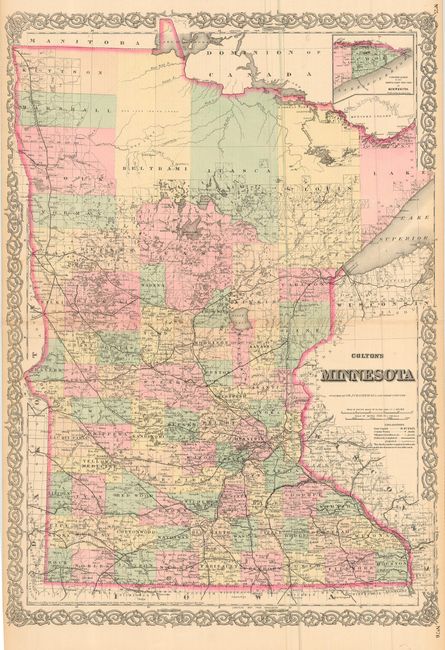
Subject: Minnesota

Period: 1867 (dated)

Publication: General Atlas

Color: Hand Color

Size:
17 x 24.3 inches
43.2 x 61.7 cm
Download High Resolution Image
(or just click on image to launch the Zoom viewer)

Finley engraved double page map of the state with an inset of the north-eastern portion at upper right. It is very detailed with identification of regions, important cities, rivers, lakes, mountain ranges, and railroad lines. Development is quite dense in the lower half of the state, tapering off to virtual wilderness in the north. A large number of named railroads fill the lower half with one running along the western boundary all the way to the St. Vincent near the Canadian border where it crosses the Red River. Colton's decorative borders were added to the map in the General Atlas as of the 1860 edition. Professionally encapsulated in archival Mylar.

References:

Condition: A

A fine example with a hint of centerfold toning that is mostly show-through from backstrap. Original color.

Estimate: $100 - $120

Sold for: $75

Closed on 6/21/2006

Archived