Catalog Archive
Auction 115, Lot 238
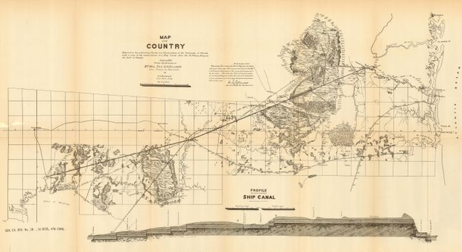
"Map of the Country Embraced in the Preliminary Survey and Examination of the Peninsula of Florida with a View to the Construction of a Ship Canal from the St. Mary's River to the Gulf of Mexico.", U.S. Corps of Engineers
Subject: Florida
Period: 1879 (dated)
Publication: Sen Ex. Doc. 38, 47th Cong., 1st Sess.
Color: Black & White
Size:
28.5 x 15 inches
72.4 x 38.1 cm
Download High Resolution Image
(or just click on image to launch the Zoom viewer)
(or just click on image to launch the Zoom viewer)