Catalog Archive
Auction 115, Lot 187

"Georgia, from the latest Authorities", Carey, Mathew

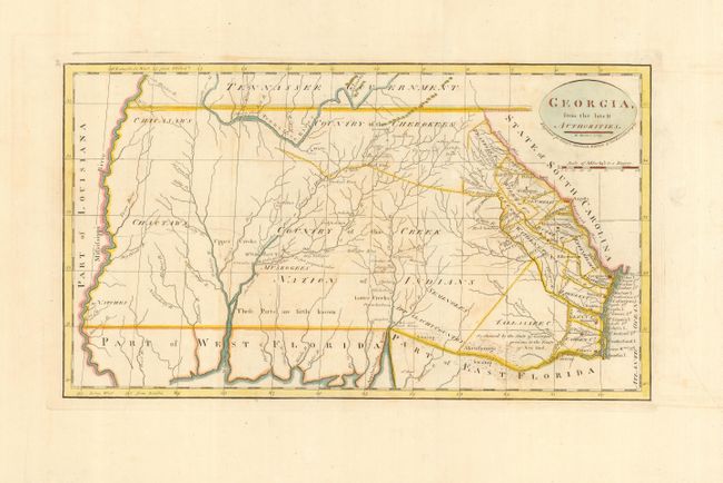
Subject: Southern United States, Georgia

Period: 1800 (published)

Publication: General Atlas

Color: Hand Color

Size:
16 x 9 inches
40.6 x 22.9 cm
Download High Resolution Image
(or just click on image to launch the Zoom viewer)

A scarce and significant map covers from the Atlantic seaboard to the Mississippi River, present-day Georgia, Alabama and Mississippi, and shows good topographical information particularly for the eastern half. Early counties in Georgia are named and their boundaries given. The interior is labeled Country of the Creek Nation of Indians with several other tribes located and the notation "These parts are little known." Several trading paths to the interior are shown. Second state with the page number 39 at upper left.

References: Wheat & Brun #611.

Condition: A

Wide original margins. Bit of faint offsetting, still overall very good.

Estimate: $1,200 - $1,400

Sold for: $1,300

Closed on 6/21/2006

Archived