Catalog Archive
Auction 114, Lot 97

"Carte de l'Amerique Septentrionale et des Antilles", Delamarche, Charles Francois

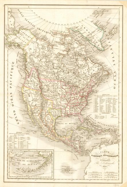
Subject: North America

Period: 1844 (dated)

Publication:

Color: Hand Color

Size:
11.3 x 17 inches
28.7 x 43.2 cm
Download High Resolution Image
(or just click on image to launch the Zoom viewer)

Uncommon edition of this map of the continent with the Independent Republic of Texas and early western territorial borders in the United States. The District Oregon ou Colombie extends into present-day British Columbia and is bounded by the Rocky Mountains. Missouri Territory takes in the entire region between Oregon and the Mississippi except for the young states of Missouri, Arkansas and Louisiana. The map is filled with the locations of many Indian Districts and Tribes. The Aleutian Islands are shown in an inset on the same scale as the main map. Table at right lists 26 states and the territories of the United States. Another table lists 20 states of Mexico.

References:

Condition: A

Couple of stains in blank margins.

Estimate: $200 - $250

Sold for: $150

Closed on 3/1/2006

Archived