Catalog Archive
Auction 114, Lot 89
"America", Cruchley, George Frederick
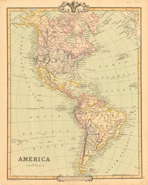
Subject: Western Hemisphere
Period: 1854 (dated)
Publication:
Color: Hand Color
Size:
13.5 x 17 inches
34.3 x 43.2 cm
Download High Resolution Image
(or just click on image to launch the Zoom viewer)
(or just click on image to launch the Zoom viewer)