Catalog Archive
Auction 114, Lot 730

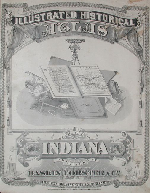
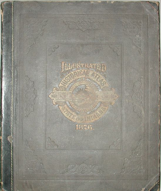
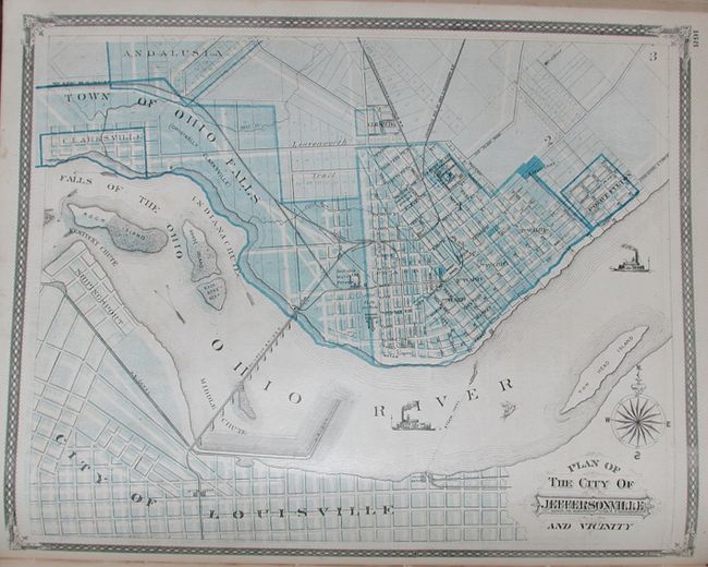
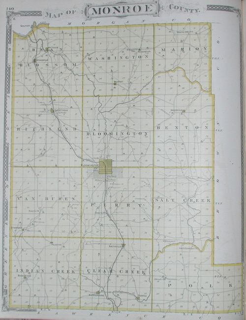
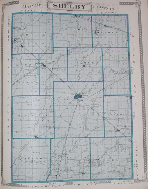
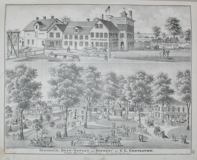
"Illustrated Historical Atlas of the State of Indiana", Baskin, Forster & Company

Subject: Atlases, Indiana

Period: 1876 (dated)

Publication:

Color: Printed Color

Size:
15 x 17.8 inches
38.1 x 45.2 cm
Download High Resolution Image
(or just click on image to launch the Zoom viewer)

Complete and scarce folio atlas, apparently the only atlas produced by Baskin, Forster & Company. It was published to coincide with the U.S. centennial. Hardbound in brown cloth with leather spine and tips, title page, Table of Contents, Preface, maps and views (183 pp.), text includes sections on Biographical Sketches, State of Indiana, Patrons of the Indiana State Atlas, List of Post Offices in the United States, etc., followed by Business Directory, 462 pp. A remarkably comprehensive atlas that contains a huge collection of town and village plans, and county maps. Some are double-page. Several plans deal with Indianapolis. Approximately 147 pages of maps and 28 pages of beautifully rendered views of towns and villages, schools, important buildings including the courthouses for Marion and Miami counties, factories, and important residents. The Preface states that despite the "financial depression" and its deleterious effect on the number of subscribers, the publishers will spare no expense to fulfill their obligation to fully produce the atlas. Engraved and printed by Chas. Shober & Company of Chicago. A scarce and remarkable atlas that is filled with a remarkable number of maps, views and much textual information on Indiana.

References: Philips (A) 1599.

Condition: B

Covers rubbed with a little soiling. Contents generally very good with occasional light foxing primarily in margins. Signatures tight except for the last few pages in the Business Directory with misfolding. End free page missing.

Estimate: $800 - $1,200

Sold for: $600

Closed on 3/1/2006

Archived