Catalog Archive
Auction 114, Lot 646

"[Lot of 12 Africa]", Various
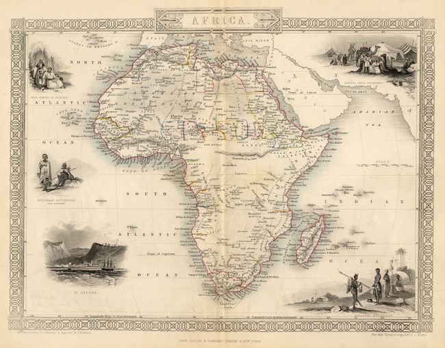
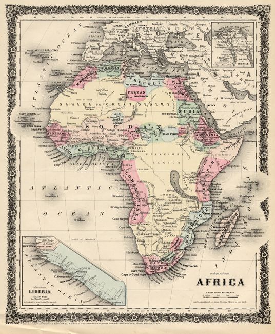
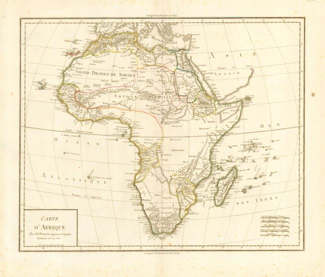
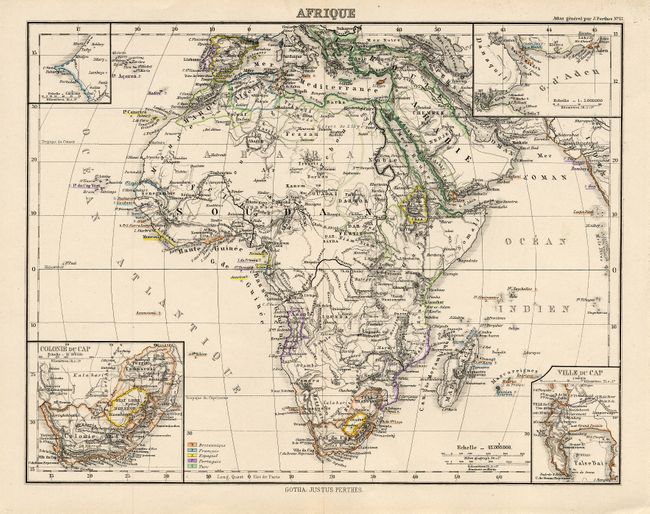
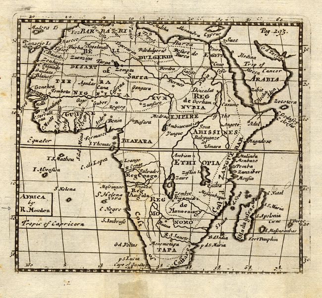
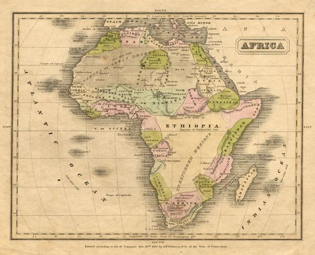
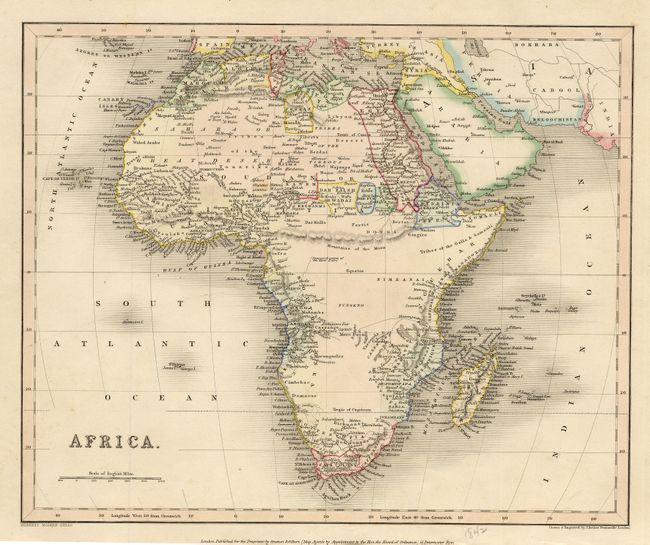
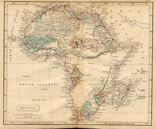
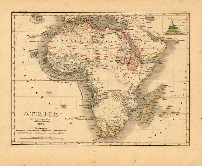
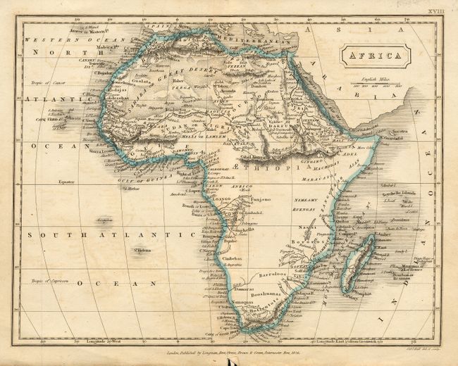
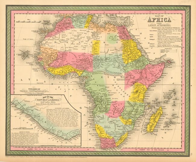
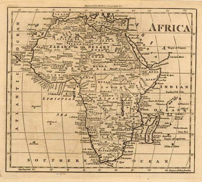
Subject: Africa

Period: 1695-1880 (circa)

Publication:

Color:

Size:
See Description
Download High Resolution Image
(or just click on image to launch the Zoom viewer)

A lot of very nice maps detailing the continent of Africa and illustrating the cartographic development throughout the eighteenth and nineteenth centuries. 1) "Africa" by John Tallis, outline color, 12.5 x 9.5" (A). 2) "Africa" by J. H. Colton, New York, 1856, from the uncommon Cabinet Atlas, hand color, 10.5 x 12.5" (A). 3) "Carte d'Afrique" by J. B. Poirson, 1802, outline color, 16.8 x 13.5" a few spots (A). 4) "Afrique" by Justus Perthes, Paris, 1882, outline color, 10.8 x 8.3" (A+). 5) "Africa" by Robert Morden, c. 1695, uncolored, 5 x4.3" (B). 6) "Africa" by D. F. Robinson & Co., Connecticut, 1829, hand color, 9.5 x 7.3" (B). 7) "Africa" by J. Archer, Gilbert's Modern Atlas, London, 1842, hand color, 11 x 8" (A). 8) "Africa" by Samuel Arrowsmith, London, outline color, 9.5 x 7.8" centerfold toning (B). 9) "Africa" by Major Radefeld, 1850, outline color, 10 x 7.5" with a few minor spots (A). 10) "Africa" by Sidney Hall, London, 1826, outline color, 9.5 x 7.3" (B). 11) "Map of Africa from the Latest Authorities" by S.A. Mitchell, published by Thomas, Cowperthwait & Co., 1850, Philadelphia, hand color, 14.8 x 12" with one small corner broken off of margin (A). 12) "Africa" from Walker's Geography, uncolored 8.5 x 7.3" laid down on mat board (B).

References:

Condition:

Condition varies, see description.

Estimate: $400 - $500

Sold for: $450

Closed on 3/1/2006

Archived