Catalog Archive
Auction 114, Lot 623
"Mauritius or Isle of France", British Admiralty
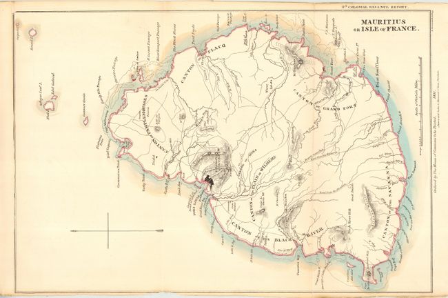
Subject: Indian Ocean Mauritius
Period: 1831 (dated)
Publication: House of Commons 4th Colonial Revenue Report
Color: Hand Color
Size:
13.2 x 19.6 inches
33.5 x 49.8 cm
Download High Resolution Image
(or just click on image to launch the Zoom viewer)
(or just click on image to launch the Zoom viewer)