Catalog Archive
Auction 114, Lot 446
"Wirtenberg Ducatus Accurata descriptio; tn qua omnia eius Opida, Monasteria, pagi, nemora, flumina et rivuli abcuius nominus, disigentissime exprimuntur", Ortelius, Abraham
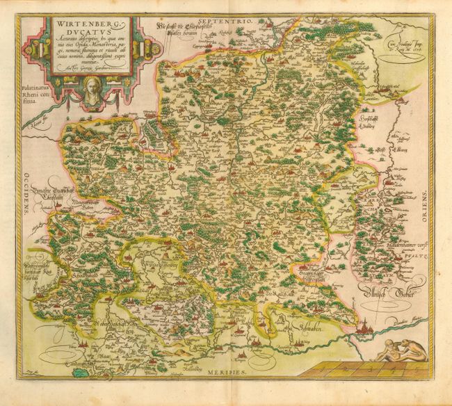
Subject: Germany
Period: 1579 (dated)
Publication: Theatrum Orbis Terrarum
Color: Hand Color
Size:
17.2 x 15 inches
43.7 x 38.1 cm
Download High Resolution Image
(or just click on image to launch the Zoom viewer)
(or just click on image to launch the Zoom viewer)