Catalog Archive
Auction 114, Lot 162

"La Floride, Suivant les Nouvelles Observations…", Aa, Pieter van der

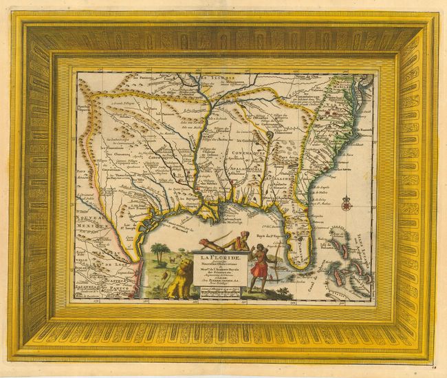
Subject: Colonial South

Period: 1729 (published)

Publication: La Galerie Agreable du Monde

Color: Hand Color

Size:
16 x 13.2 inches
40.6 x 33.5 cm
Download High Resolution Image
(or just click on image to launch the Zoom viewer)

This splendid map of the southern United States was based on Delisle's influential Carte du Mexique de la Floride of 1703. The map is filled with details of early colonial settlements and Indian tribes. The large lake first found on Le Moyne's 1591 map is here called Lac Grande and it is land-locked. The Mississippi is shown too far west of its true course and the Apalachicoli River flows from a large spurious lake in present day Georgia. Details of the Bahamas are included. The Gulf of Mexico is filled with a large cartouche featuring Native Americas and an incongruent lion. The entire map is enclosed in a unique large picture frame-style border.

References: Cumming (SE) #155.

Condition: A

Couple of tiny tears in bottom margin, not affecting map. Small manuscript ink page number at lower right corner.

Estimate: $2,000 - $2,300

Sold for: $1,900

Closed on 3/1/2006

Archived