Catalog Archive
Auction 114, Lot 105
"Terra Nova", Bertius, Petrus
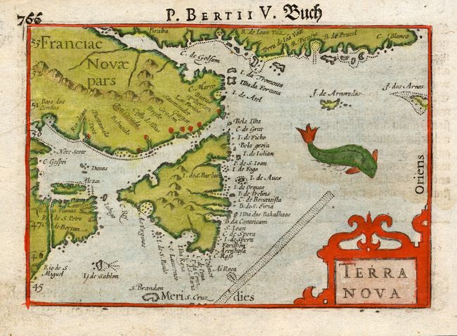
Subject: Canada, Newfoundland
Period: 1612 (circa)
Publication:
Color: Hand Color
Size:
5 x 3.5 inches
12.7 x 8.9 cm
Download High Resolution Image
(or just click on image to launch the Zoom viewer)
(or just click on image to launch the Zoom viewer)