Catalog Archive
Auction 113, Lot 351

"[Lot of 2] Carte du Perou [and] Perou et Pays Circonvoisins",
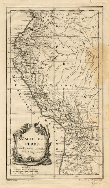
Subject: Peru

Period: 1760-88 (circa)

Publication:

Color: Black & White

Size:
See Description
Download High Resolution Image
(or just click on image to launch the Zoom viewer)

Two copper engraved maps of Peru. First is Bellin's map from Prevost's Histoire des Voyages, engraved by Benard, circa 1760 (8 x 14.2"). Second is Bonne's map from Atlas Encyclopedique, engraved by Andre, circa 1788 (9.5 x 13.5"). Both provide fine detail of the region.

References:

Condition: B

Some light staining on first and minor soil of second.

Estimate: $120 - $160

Unsold

Closed on 12/7/2005

Archived