Catalog Archive
Auction 113, Lot 266

"[Lot of 7 Ohio Counties]", Stebbins, Henry S.
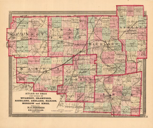
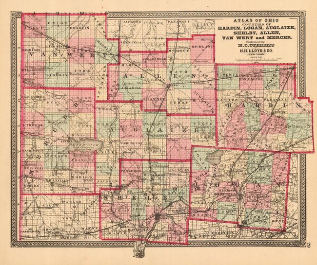
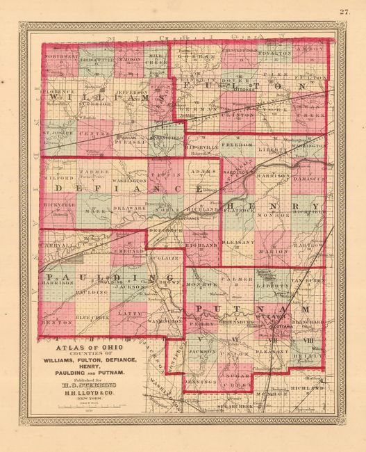
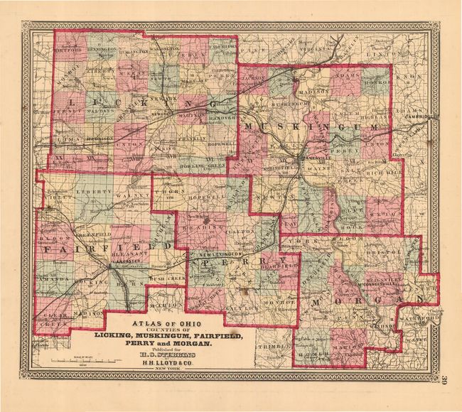
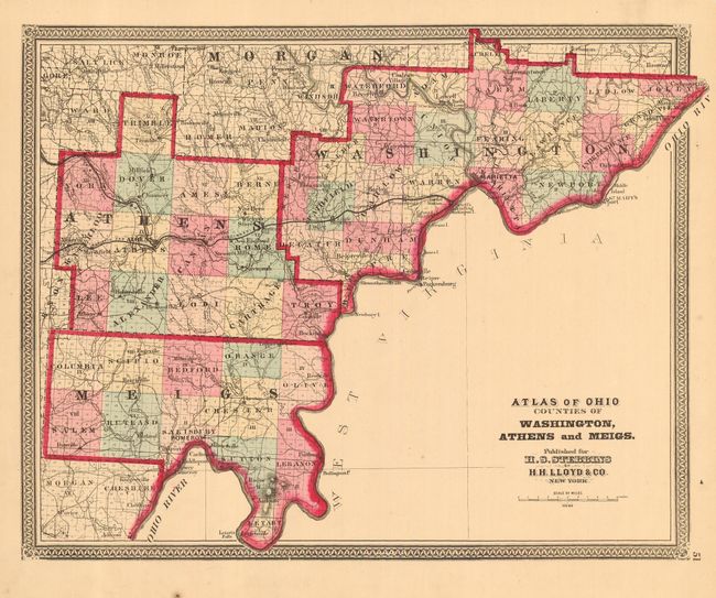
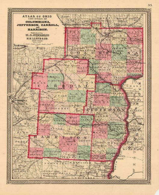
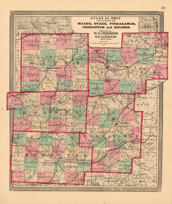
Subject: Ohio

Period: 1868 (circa)

Publication: Atlas of Ohio

Color: Hand Color

Size:
15 x 12 inches
38.1 x 30.5 cm
Download High Resolution Image
(or just click on image to launch the Zoom viewer)

Very nice collection of maps from this uncommon county atlas. Each map title begins with "Atlas of Ohio" which is omitted here for brevity. 1) Counties of Wyandot, Crawford, Richland, Ashland, Marion, Morrow and Knox 2) Counties of Hardin, Logan, Auglaize, Shelby, Allen, Van Wert and Mercer 3) Counties of Williams, Fulton, Defiance, Henry, Paulding and Putnam 4) Counties of Licking, Muskingum, Fairfield, Perry and Morgan 5) Counties of Washington, Athens and Meigs 6) Counties of Columbiana, Jefferson, Carroll, and Harrison 7) Counties of Wayne, Stark, Tuscarawas, Coshocton and Holmes. All are approximately sized as given. These maps are virtually identical to the Walling series that were published by Stebbins; only the decorative borders vary.

References:

Condition: A

All with fine, bright original full coloring. A few with chips or tears in margins. One map with corner of margin missing, well away from map image. All map images are fine to very good.

Estimate: $200 - $250

Sold for: $100

Closed on 12/7/2005

Archived