Catalog Archive
Auction 113, Lot 206
"Map of the Western Division of the Fort Kearney South Pass and Honey Lake Road", Campbell, Archibald (Gen. Sir)
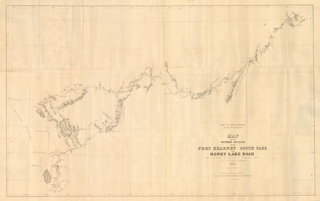
Subject: Western United States
Period: 1857 (dated)
Publication: Senate Doc. #36, 35th Congress 2nd Sess.
Color: Black & White
Size:
34.5 x 21.3 inches
87.6 x 54.1 cm
Download High Resolution Image
(or just click on image to launch the Zoom viewer)
(or just click on image to launch the Zoom viewer)