Catalog Archive
Auction 112, Lot 88
"Amerique Septentrionale", Mallet, Alain Manesson
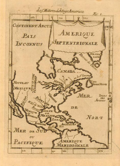
Subject: North America
Period: 1684 (circa)
Publication: Beschreibung des ganzen welt-kreisses…
Color: Black & White
Size:
4.5 x 6 inches
11.4 x 15.2 cm
Download High Resolution Image
(or just click on image to launch the Zoom viewer)
(or just click on image to launch the Zoom viewer)