Catalog Archive
Auction 112, Lot 652

"[Japanese map of Japan]",
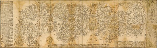
Subject: Japan

Period: 1835 (published)

Publication:

Color: Printed Color

Size:
42.5 x 14 inches
108 x 35.6 cm
Download High Resolution Image
(or just click on image to launch the Zoom viewer)

Japanese woodblock map from the Edo period depicting the land and sea routes around Japan. The map is printed in only two colors (black and pale yellow) due to the regulations passed by the Tokugawa Shogunate during the Tempo Reforms, which limited the number of blocks that could be used in making prints. The map was published (or perhaps sold) by Kaizuya Shohachi (?) from his shop opposite the Nara Daibutsu. The map is printed on heavy Japanese mulberry paper (four joined sheets), folding into a later (20th c.) card stock case.

References:

Condition: B

Some damp stains and general soil throughout.

Estimate: $1,500 - $2,000

Sold for: $2,300

Closed on 9/28/2005

Archived