Catalog Archive
Auction 112, Lot 552
"Europae Tabula VI", Ruscelli, Girolamo
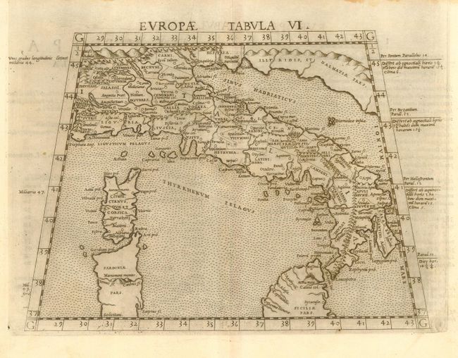
Subject: Italy
Period: 1561 (published)
Publication:
Color: Black & White
Size:
10 x 7.5 inches
25.4 x 19.1 cm
Download High Resolution Image
(or just click on image to launch the Zoom viewer)
(or just click on image to launch the Zoom viewer)