Catalog Archive
Auction 112, Lot 260

"The State of New Jersey Compiled from the most Authentic Information", Lewis/Carey
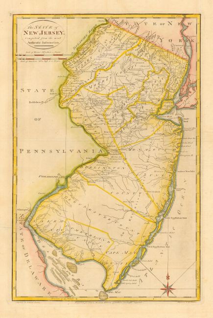
Subject: New Jersey

Period: 1800 (published)

Publication: Carey's American Atlas

Color: Hand Color

Size:
12.3 x 19 inches
31.2 x 48.3 cm
Download High Resolution Image
(or just click on image to launch the Zoom viewer)

Handsome topographical map showing counties, the division line of East from West Jersey, towns, mills, courthouses and many roads. Carey's American Atlas was originally issued in 1795 to accompany the American edition of Guthrie's Geography Improved, and it was subsequently issued into the early nineteenth century. This is the second state of the plate with 32 added outside the neatline in the upper left corner.

References: Wheat & Brun #414.

Condition: A

Printer's crease and a bit of faint offsetting, overall very good with wide original margins and attractive later color.

Estimate: $475 - $550

Sold for: $475

Closed on 9/28/2005

Archived