Catalog Archive
Auction 111, Lot 99

"Karte von dem Ostlichen-Stucke von Neu Frankreich oder Canada", Bellin, Jacques Nicolas

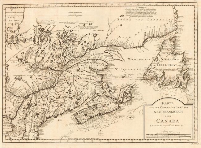
Subject: Colonial Canada & New England

Period: 1744 (dated)

Publication: Allegmeine Historie der Reisen zu Wasser und zu Lande

Color: Black & White

Size:
22 x 15.5 inches
55.9 x 39.4 cm
Download High Resolution Image
(or just click on image to launch the Zoom viewer)

Fine map of the eastern seaboard from Boston (Baston) through Newfoundland to the coast of Labrador. It provides excellent detail of the mouth of the St. Lawrence, the length of the river, the Maritime provinces and particularly the French claims in the region. This detailed map is a fine example of Bellin's engraving style and the extent of French exploration in the region. This is the German edition of Bellin's definitive map of Eastern Canada and Newfoundland, which was copied by numerous cartographers in the 18th century.

References: Kershaw #686; McCorkle #744.3.

Condition: B

Paper added to binding trim and tissue repair on 1-1/2" binding tear. Bit of faint offsetting.

Estimate: $550 - $650

Sold for: $325

Closed on 6/8/2005

Archived