Catalog Archive


Auction 111, Lot 85
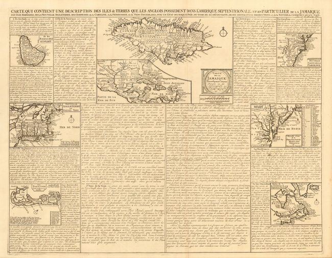
"Carte qui Contient une Description des Iles & Terres que les Anglois Possedent dans l'Amerique Septentrionale, et en Particulier de la Jamaique, des Iles Barbades, de la Nouvelle Angleterre, des Barmudes, de la Caroline, de la Pensilvanie …", Chatelain, Henry Abraham

Subject: Colonial North America and West Indies
Period: 1719 (circa)
Publication: Atlas Historique
Color: Black & White
Size:
20.4 x 16 inches
51.8 x 40.6 cm
Download High Resolution Image
(or just click on image to launch the Zoom viewer)
(or just click on image to launch the Zoom viewer)