Catalog Archive
Auction 111, Lot 753

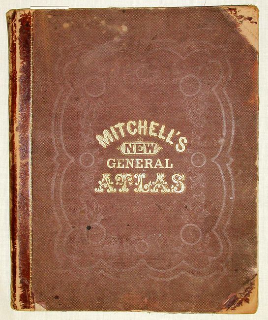
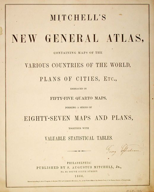
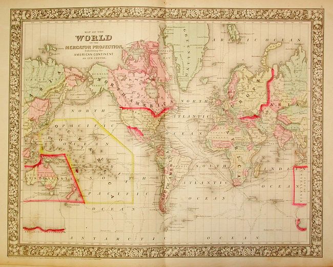
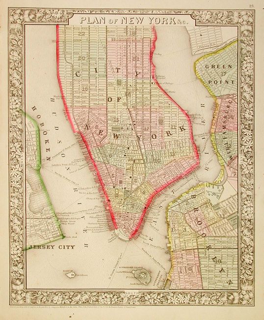
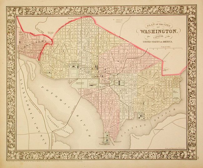
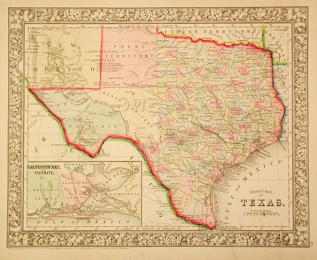
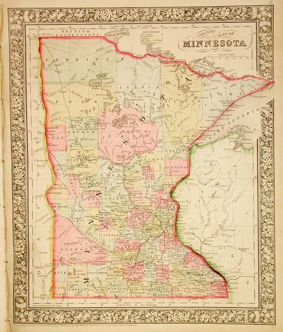
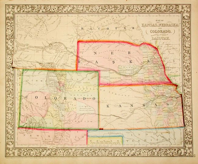
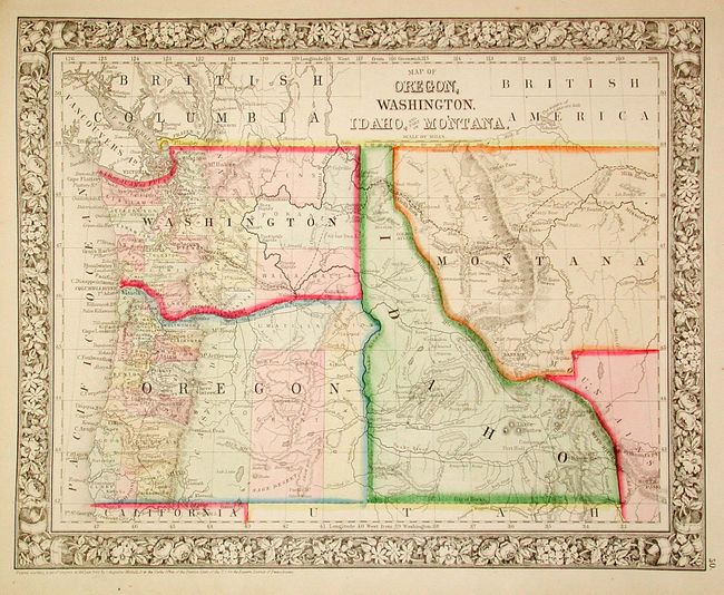
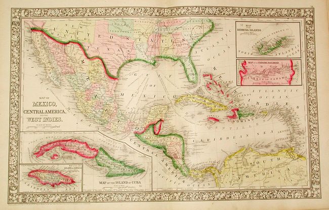
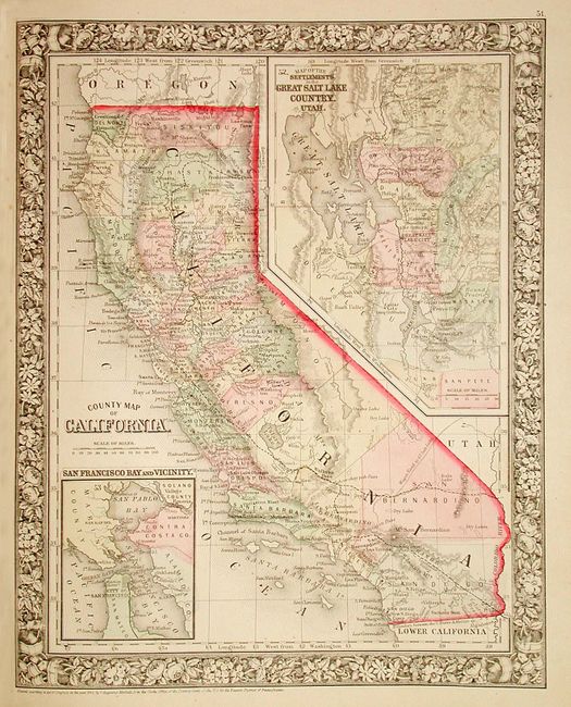
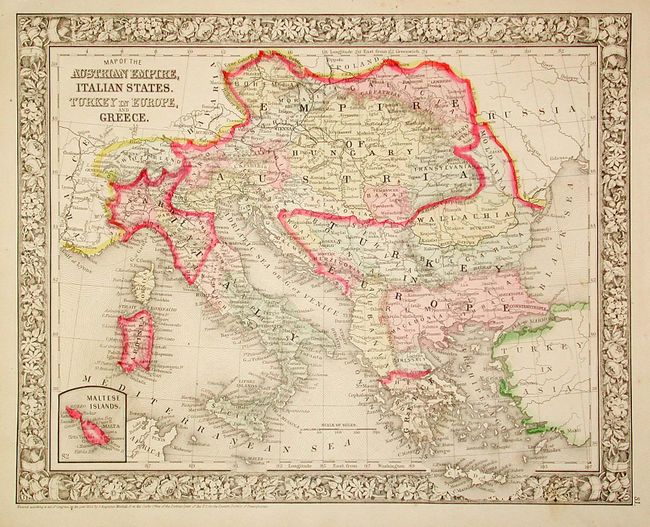
"Mitchell's New General Atlas, containing Maps of the Various Counties of the World, Plans of Cities, Etc…", Mitchell, Samuel Augustus

Subject: Atlases

Period: 1866 (dated)

Publication:

Color: Hand Color

Size:
12.5 x 15.2 inches
31.8 x 38.6 cm
Download High Resolution Image
(or just click on image to launch the Zoom viewer)

Nearly complete atlas with 85 (of 87) maps and plans on 52 sheets, each surrounded by Mitchell's signature floral border. Thirty of the sheets are related to the United States with individual state, regional and city maps. Includes two world maps, one hemispheric and the other on Mercator's Projection, and a nice example of the Texas map. All maps except the double hemisphere world map (time table on verso) are printed on one side only. Missing the double-page map of the United States and a single-sheet map of Prussia and Germany. Otherwise a nice example of this desirable atlas with decorative maps. Original binding quarter calf over embossed cloth.

References:

Condition: B

Brown ink signature of a previous owner on the title page. Missing 2 maps. Covers worn with front cover and spine separated. Contents very good with very little soil or foxing and bright original color.

Estimate: $1,300 - $1,400

Sold for: $950

Closed on 6/8/2005

Archived