Catalog Archive
Auction 111, Lot 752

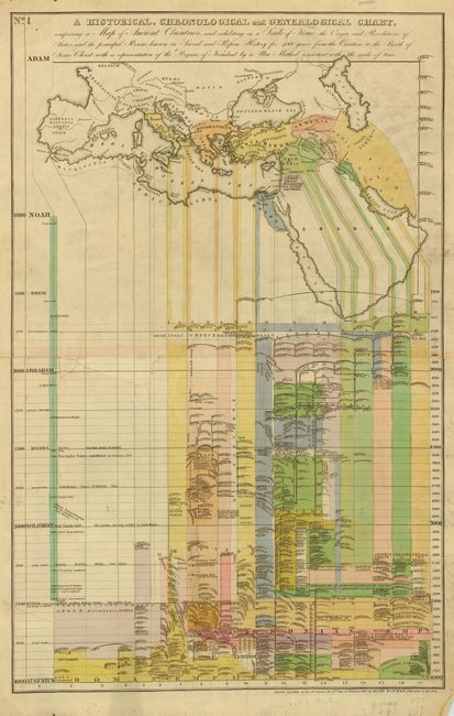
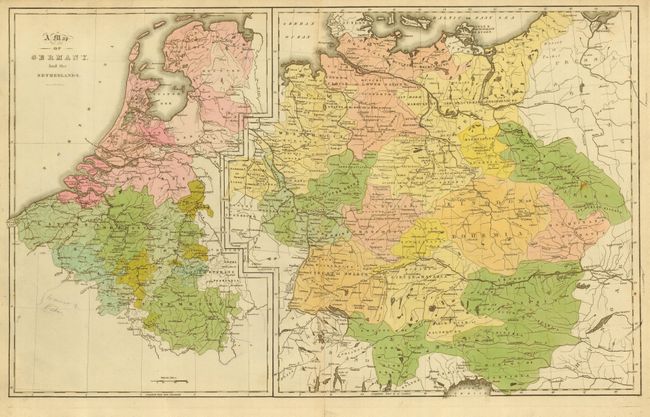
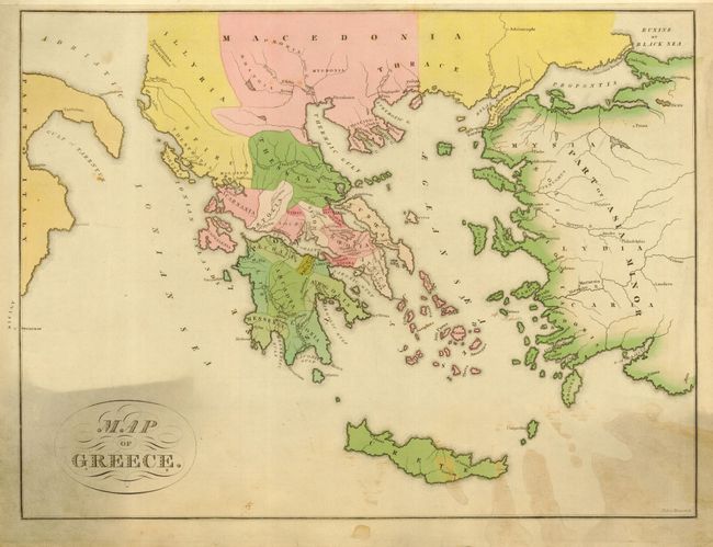
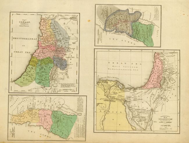
"A Historical and Classical Atlas, Illustrating, by a Series of Maps and Charts, Ancient History and Geography, Both Sacred and Profane: and also, Grecian and Roman Mythology…", Bostwick, Henry

Subject: Atlases

Period: 1828 (dated)

Publication:

Color: Hand Color

Size:
14 x 16.7 inches
35.6 x 42.4 cm
Download High Resolution Image
(or just click on image to launch the Zoom viewer)

A disbound folio atlas of classical geography. Consists of title page, four maps (2 double-page), and five plates (3 double- page). Map titles include: A Historical, Chronological and Genealogical Chart, comprising a Map of Ancient Countries (24" x 14.7"); Map of Germany and the Netherlands (24" x 14.7"); Map of Greece (24" x 14.7") by Peter Maverick; and four Holy Land related maps on one sheet: Map of Canaan or the Holy Land for General Purposes; Journeyings of the Israelites from Egypt to the Land of Canaan; Judah and Israel Illustrating the Books of Kings and the Captivities; and A Map of the Holy Land adopted to the Gospel History. A rare atlas. The Library of Congress has a copy listed with 4 maps and seven plates. No other references located.

References:

Condition: B

Several double-page sheets cleanly split along centerfold, one with split wandering into a tear and then back to a split. Map of Greece with toning or staining in lower portion.

Estimate: $100 - $200

Sold for: $50

Closed on 6/8/2005

Archived