Catalog Archive
Auction 111, Lot 618

"Magnae Tartariae, Magni Mogolis Imperii, Iaponiae et Chinae Nova Descripto ex Tabula…", Covens & Mortier

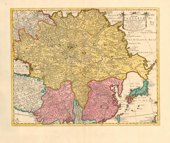
Subject: Asia - Northeastern

Period: 1730 (circa)

Publication:

Color: Hand Color

Size:
21.5 x 17 inches
54.6 x 43.2 cm
Download High Resolution Image
(or just click on image to launch the Zoom viewer)

This map of Tartary, China and Japan is based on Frederick de Wit's map of the same title. It has been updated here to incorporate the explorations of Nicolaas Witsen with a peninsular shaped Yedso and the Straet de Vries separating it from Comp. Lant. The map is fully engraved with forests and mountains and has quite good detail of cities and towns for the period. The Great Wall is graphically depicted and the large, mythical Chiammay Lacus is located in central China. Title is contained in a ribbon and banner style cartouche.

References:

Condition: A

Fine impression and original color. Few small worm holes in upper blank margin, not affecting map.

Estimate: $500 - $600

Sold for: $250

Closed on 6/8/2005

Archived