Catalog Archive
Auction 111, Lot 549

"Plan du Port du Passage en Espagne Situee dans la Province de Biscaye, sur l'Ocean entre Fontarabie et St. Sebastien…", Fer, Nicolas de
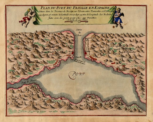
Subject: Spain

Period: 1696 (published)

Publication: Les Forces de l'Europe

Color: Hand Color

Size:
11.2 x 8.8 inches
28.4 x 22.4 cm
Download High Resolution Image
(or just click on image to launch the Zoom viewer)

Interesting small plan of the extensive fortifications protecting the port at Fontarabie, a strategic position near the French border. Nicolas de Fer held the title of Geographer at Louis XIV's court. He was one of the most prolific publishers of plans of European cities in the late seventeenth century. The banner-style title cartouche is held aloft by cherubs.

References: Pollak #21.

Condition: B

Couple of small spots.

Estimate: $80 - $100

Sold for: $60

Closed on 6/8/2005

Archived