Catalog Archive
Auction 111, Lot 505
"Tabula Geographica qua pars Russiae Magnae Pontus Euxinus seu Mare Nigrum et Tartaria Minor cum finitimis Bulgariae, et Romaniae et Natoliae…", Homann, Johann Baptist
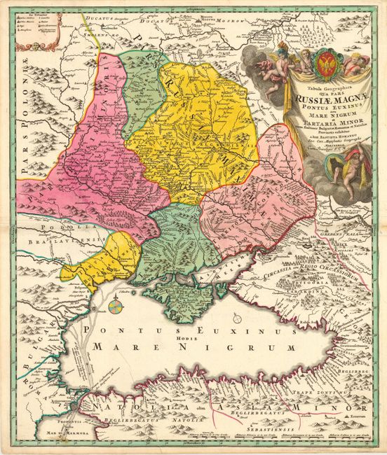
Subject: Ukraine and Black Sea
Period: 1720 (circa)
Publication:
Color: Hand Color
Size:
19 x 22.7 inches
48.3 x 57.7 cm
Download High Resolution Image
(or just click on image to launch the Zoom viewer)
(or just click on image to launch the Zoom viewer)