Catalog Archive
Auction 111, Lot 416

"Carte des Environs de l'Escaut…", Hahn, Gustav Leopold

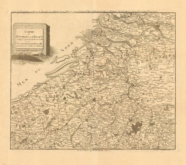
Subject: Belgium & Netherlands

Period: 1785 (dated)

Publication:

Color: Black & White

Size:
17.5 x 14.5 inches
44.5 x 36.8 cm
Download High Resolution Image
(or just click on image to launch the Zoom viewer)

Crisply engraved copper plate map filled with remarkable detail that is centered on Gent. The resolution is great enough to show the major streets in Bruxelles, as well in numerous other cities. The chart extends north to show a portion of Rotterdam, west to include Dunkirk, south to below Lille and east well beyond Bruxelles. Filled with scores of small villages, roads, forests and more. An uncommon map by Lieutenant Hahn, published by F. Nicolai.

References:

Condition: B

Fine impression on thick paper with very wide margins. Some cities are underlined in faded red color. Light foxing or toning.

Estimate: $140 - $180

Sold for: $80

Closed on 6/8/2005

Archived