Catalog Archive
Auction 111, Lot 300
"Carta Nautica que Comprehende los Desembocaderos al Mar del Norte…", Lopez, Juan (don)
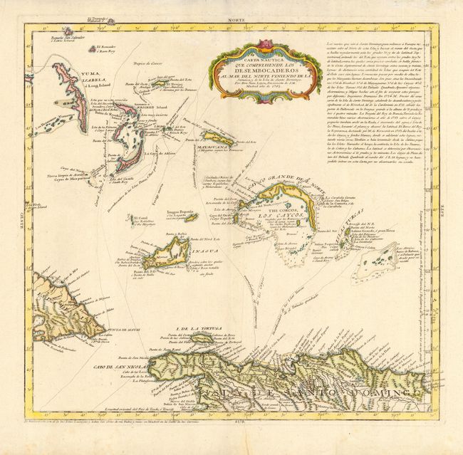
Subject: Caribbean and Bahamas
Period: 1782 (dated)
Publication:
Color: Hand Color
Size:
15.2 x 14.6 inches
38.6 x 37.1 cm
Download High Resolution Image
(or just click on image to launch the Zoom viewer)
(or just click on image to launch the Zoom viewer)