Catalog Archive
Auction 111, Lot 295

"Canibales Insulae", Blaeu, Johannes

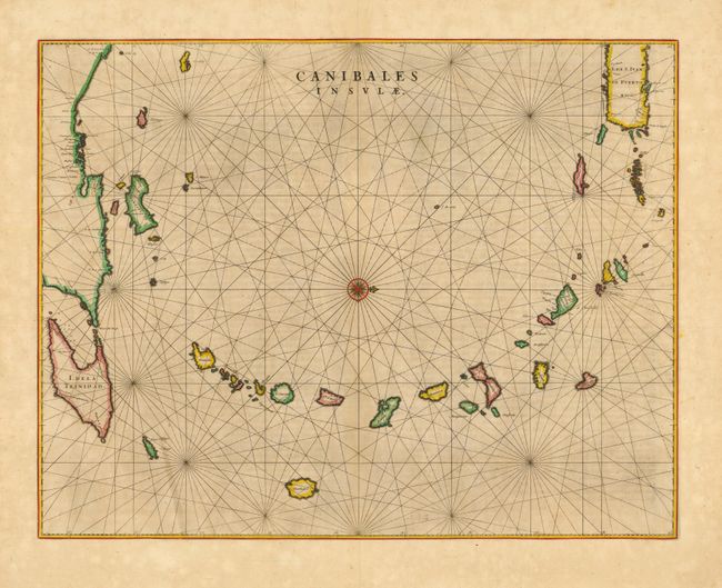
Subject: Lesser Antilles

Period: 1662 (circa)

Publication: Atlas maior sive Geographia

Color: Hand Color

Size:
21 x 16.5 inches
53.3 x 41.9 cm
Download High Resolution Image
(or just click on image to launch the Zoom viewer)

This is the first Dutch map to focus on the Antilles. It covers the Windward and Leeward Isles from Puerto Rico to Trinidad and Margarita. Centered on a compass rose with north at right, the chart is less decorative than other maps by Blaeu; having instead a practical navigational chart appearance. The title - Islands of the Cannibals - is certainly evocative. It illustrates the European impression of the mysterious islands of the New World resulting from many explorer's accounts of the savage Caribbean warriors who devoured their prisoners. Latin text on verso.

References: Goss (Blaeu) p. 162; Van der Krogt (Atlantes) 9640:2.

Condition: A

Original color. Lightly toned with slight printer's ink haze in plate.

Estimate: $600 - $800

Sold for: $550

Closed on 6/8/2005

Archived