Catalog Archive
Auction 111, Lot 282

"Spanish North America", Thomson, John

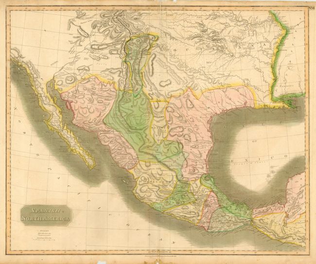
Subject: Western United States & Mexico

Period: 1814 (dated)

Publication: A New General Atlas

Color: Hand Color

Size:
24.5 x 20 inches
62.2 x 50.8 cm
Download High Resolution Image
(or just click on image to launch the Zoom viewer)

Handsome and significant map depicting the Spanish possessions in North America. These possessions are depicted as extending from Guatemala up through Santa Fe to the Louisiana Territory, which encompasses the area from Santa Fe to the Mississippi and from the Missouri River to near the Gulf of Mexico. Especially noteworthy is the delineation of the great river systems, particularly the Platte flowing east and south of the Rocky Mountains. According to Wheat, the map originated primarily from the epic Humboldt and Pike maps and to some extent the Pinkerton and Arrowsmith maps published a few years earlier. Texas appears within the province of St. Louis de Potosi. Names many Indian tribes and villages.

References: Wheat [TMW] #320.

Condition: B

Nice original color. Lightly toned with short fold separations closed with archival tape. Some chips and damp stains at paper edges, not affecting map.

Estimate: $600 - $700

Unsold

Closed on 6/8/2005

Archived