Catalog Archive
Auction 111, Lot 250

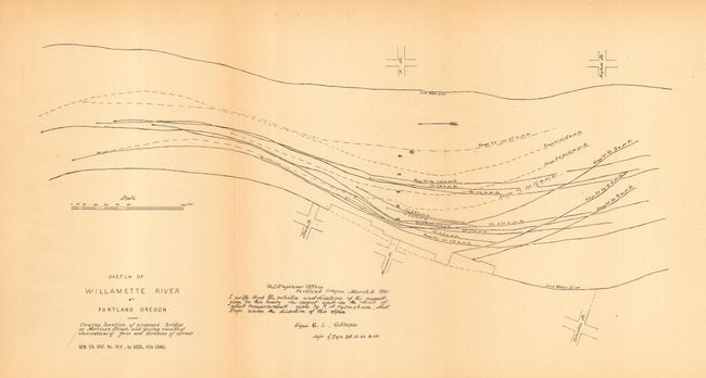
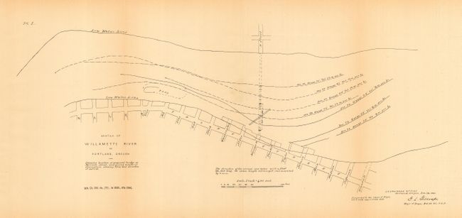
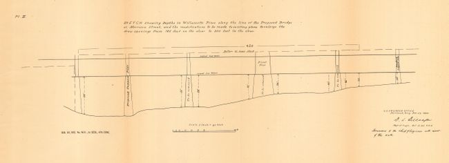
"[Lot of 7 - Portland, Oregon]", U.S. Government
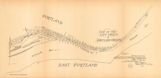
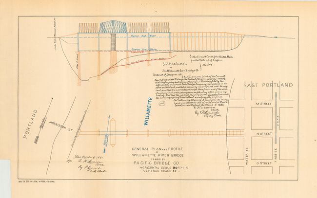
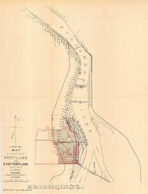
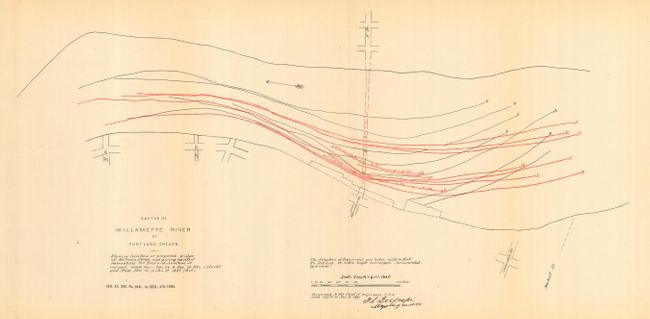
Subject: Oregon

Period: 1880-81 (dated)

Publication: Senate Doc. 162, 47th Cong., 1st Sess.

Color:

Size:
16 x 9 inches
40.6 x 22.9 cm
Download High Resolution Image
(or just click on image to launch the Zoom viewer)

Fine collection of seven maps relating to the city of Portland. Titles are: 1) General Plan and Profile of Willamette River Bridge drawn by Pacific Bridge Co (printed color); 2) Map of the City Front of Portland Oregon (uncolored); 3) Extract from Map of the Cities of Portland and East Portland and the town of Albina Oregon (printed color); 4) Sketch Showing Depths in Willamette River along the line of the Proposed Bridge at Morrison Street (uncolored); 5, 6 & 7) Sketch of Willamette River at Portland Oregon (uncolored, each map showing a different portion). Each map is approximately sized as noted. A scarce, early set of maps of Portland for which we find no references or dealer/auction listings.

The Morrison Street Bridge became the first river bridge in Portland, 1887. It was originally a toll bridge and was built at the site of an important ferry crossing. A fine history of the important Morrison Street Bridge can be found at http://www.rootsweb.com/~ormultno/History/morrison.htm.

References:

Condition: A

All in fine to very good condition. Folding, as issued.

Estimate: $70 - $90

Sold for: $1,700

Closed on 6/8/2005

Archived