Catalog Archive


Auction 111, Lot 246
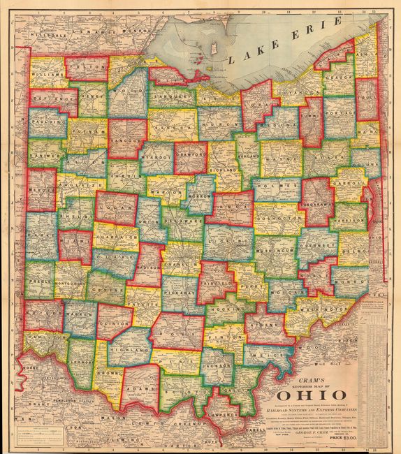
"Cram's Superior Map of Ohio Accompanied by a Concise and Original Ready Reference Index showing all Railroad Systems and Express Companies…", Cram, George F. & Company

Subject: Ohio
Period: 1901 (circa)
Publication:
Color: Printed Color
Size:
48 x 40 inches
121.9 x 101.6 cm
Download High Resolution Image
(or just click on image to launch the Zoom viewer)
(or just click on image to launch the Zoom viewer)