Catalog Archive
Auction 111, Lot 238

"Map of the State of New-York with parts of the adjacent Country, Embrassing Plans of the Cities, and some of the larger Villages", Burr, David H.
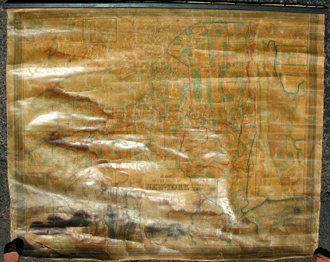
Subject: New York

Period: 1845 (dated)

Publication:

Color: Hand Color

Size:
54.3 x 44.5 inches
137.9 x 113 cm
Download High Resolution Image
(or just click on image to launch the Zoom viewer)

An early wall map publication by J.H. Colton and one of the most important state maps of New York for its time. It was based on surveys authorized by the New York legislature, was essentially the first official state map, and was considered the most accurate and up-to-date map of the day. Several city plans are inset, including Syracuse, Oswego, Ithaca, Poughkeepsie, Utica, Rochester, Schenectady, Auburn, Buffalo, Albany, Troy, etc. The largest inset (29" x 10.8") details Manhattan. Also includes a finely engraved vignette of Erie Canal at Little Falls. Fourth edition, engraved by S. Stiles & Co., and published by J.H. Colton.

References: cf Rumsey, 2269 (1834 ed.); Phillips (M) p.511.

Condition: C

Majority of the map is very good, with sound paper & original linen backing. Lower 16" of map with extensive water staining, and a little along left side. Missing lower roller, top roller detached. Will benefit from professional restoration.

Estimate: $800 - $1,200

Unsold

Closed on 6/8/2005

Archived