Catalog Archive
Auction 111, Lot 232

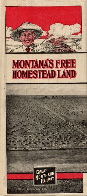
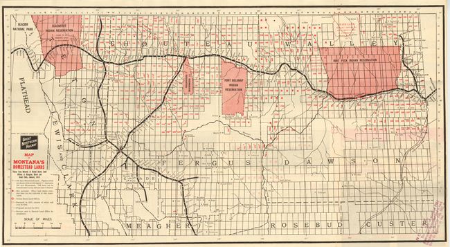
"Great Northern Railway Map of Montana's Homestead Lands Taken from Records of United States Land Offices at Glasgow, Havre, and Great Falls", Great Northern Railway

Subject: Montana

Period: 1912 (dated)

Publication:

Color: Printed Color

Size:
31.5 x 17 inches
80 x 43.2 cm
Download High Resolution Image
(or just click on image to launch the Zoom viewer)

Terrific promotional map designed to attract settlers to Montana. The map details the routes of railroads throughout the homestead portion of the state, which includes the region bounded by Flathead Lake and Glacier National Park in the west, east to Williston, and south to Helena. Legend shows, through color and symbol, 160 Acre Homestead Lands, Unsurveyed Land, Land Offices, Lands surveyed in 1911, Lands proposed for survey in 1912, and surveys sent to the General Land Office for acceptance. Text and photographs on verso promote the idea of moving to Montana: Come to Montana - Take up a Homestead and Prosper; The Vanishing West; 30,000,000 Acres of Free Land in Montana - Today, etc. Photographs show successful farms and ranches, their fields and barnyards filled with harvests and animals. Rubber stamped over text: "Notice: A Bill reducing time residence on homesteads from Five to Three years…" Another on the map at lower corner explains the number of FREE homestead land is shown by figures in red.

References:

Condition: A+

Folding, as issued, fine.

Estimate: $60 - $80

Sold for: $130

Closed on 6/8/2005

Archived