Catalog Archive
Auction 111, Lot 169

"Colton's Dakota and Wyoming", Colton, G.W. & C.B.

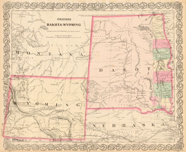
Subject: United States - Northwestern

Period: 1869 (circa)

Publication:

Color: Hand Color

Size:
17 x 13.7 inches
43.2 x 34.8 cm
Download High Resolution Image
(or just click on image to launch the Zoom viewer)

This is a relatively uncommon and early edition of this map issued just after the establishment of Wyoming Territory. It is the first atlas map to name Wyoming in the title and to show its correct territorial configuration. This new territory has no county organization and only a few settlements outside of the many forts and army posts. The partially completed Union Pacific Railroad reaches Bridger's Pass. Fremont's Peak is noted as "This is the Loftiest known Summit in this chain." Dakota Territory has only 13 counties organized along the eastern border with the balance of the territory still firmly in the hands of the Indians. A string of forts are shown along the Missouri River. Numerous trails and exploration routes are noted including part of the Pony Express route, Fremont and Stansbury's routes, Northern Pacific and Union Pacific Railroads and the Great Route to California and Oregon (Oregon Trail).

References:

Condition: B

Couple of tiny marginal tears and adhesive residue in top margin. Two insignificant spots in map, else very good.

Estimate: $160 - $200

Sold for: $120

Closed on 6/8/2005

Archived