Catalog Archive


Auction 111, Lot 149
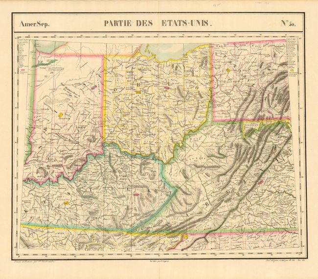
"Amer. Sep. Partie des Etats Unis. No. 50", Vandermaelen, Philippe Marie Guillaume

Subject: Central United States
Period: 1827 (published)
Publication: Atlas Universel
Color: Hand Color
Size:
22 x 18.4 inches
55.9 x 46.7 cm
Download High Resolution Image
(or just click on image to launch the Zoom viewer)
(or just click on image to launch the Zoom viewer)