Catalog Archive
Auction 111, Lot 117

"Charte von dem Nordamericanischen Staatenbunde, nach den neucsten vorhandenen…", Streit, Friedrich Wilhelm

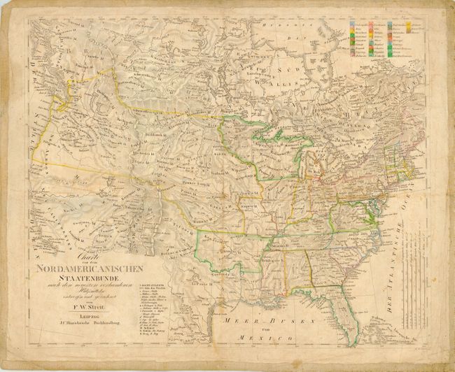
Subject: United States and Canada

Period: 1821 (circa)

Publication:

Color: Hand Color

Size:
18.5 x 15.4 inches
47 x 39.1 cm
Download High Resolution Image
(or just click on image to launch the Zoom viewer)

Scarce copper engraved map with original outline coloring that corresponds to a numbered color legend at upper right. A huge Missouri Territory extends well north into Canada in the Northwest. Most of the Southwest is labeled New Californien with New Mexico a narrow sliver between California and an unnamed Texas. Texas has an odd shape without the large bend in the Rio Grande and a widened Panhandle that narrows at the 40th parallel and extends to above the Great Salt Lake. Arkansas is shown in its large configuration extending west to border with Texas. A second legend identifies roads, cities, villages, military forts, Native American lands, waterfalls, universities, and more. The states and territories are numbered rather than named, as given in the color legend. A remarkable map for which we find no references or dealer listings.

References:

Condition: B

Original coloring with good margins. Backed with heavy linen. Occasional soiling or foxing and a soft crease from folding.

Estimate: $250 - $350

Sold for: $400

Closed on 6/8/2005

Archived